
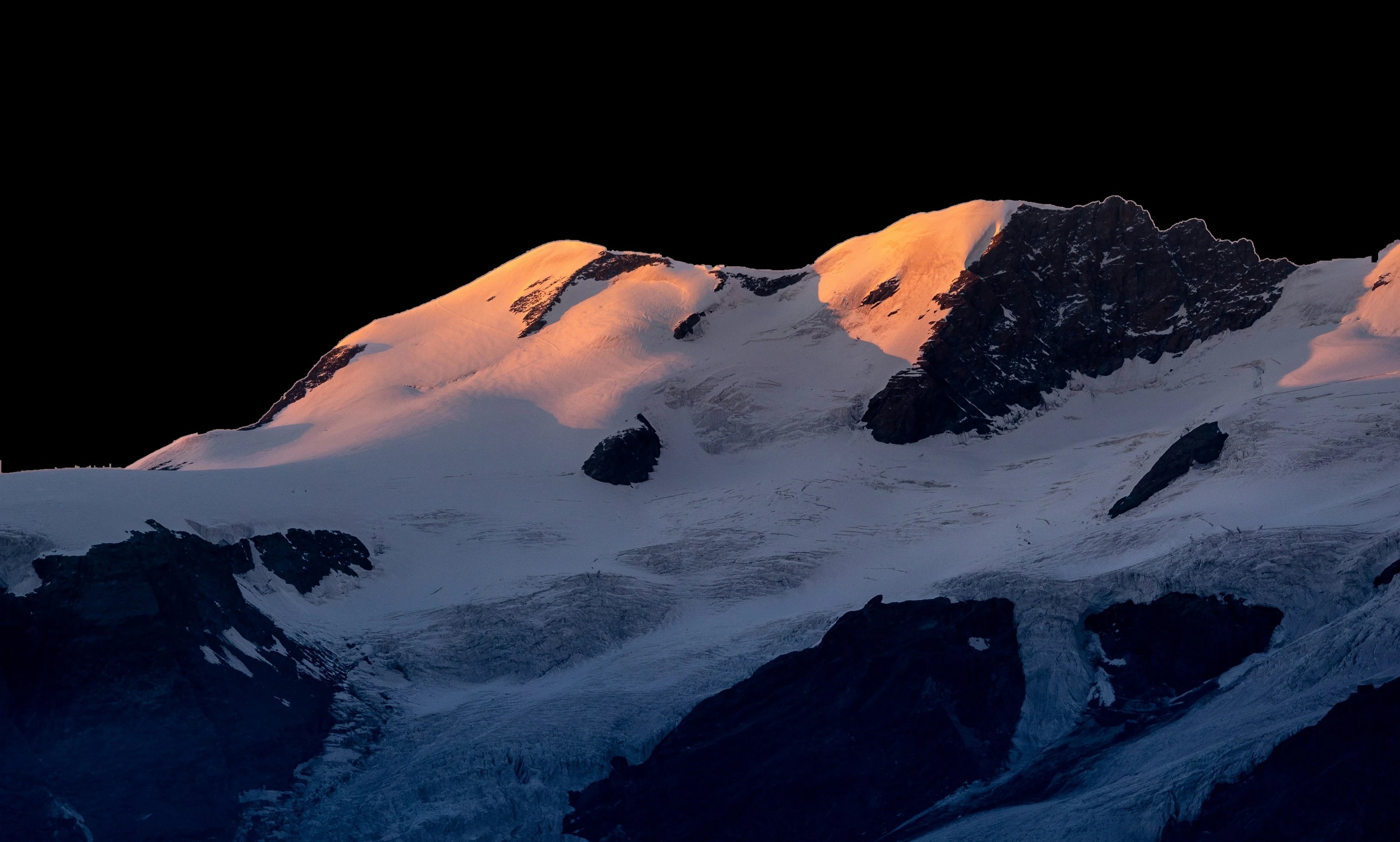

Show the slope
before they set off.
Guests explore your slopes in 3D before they leave home – runs, lifts, services and what is open right now. You update the status on your phone.
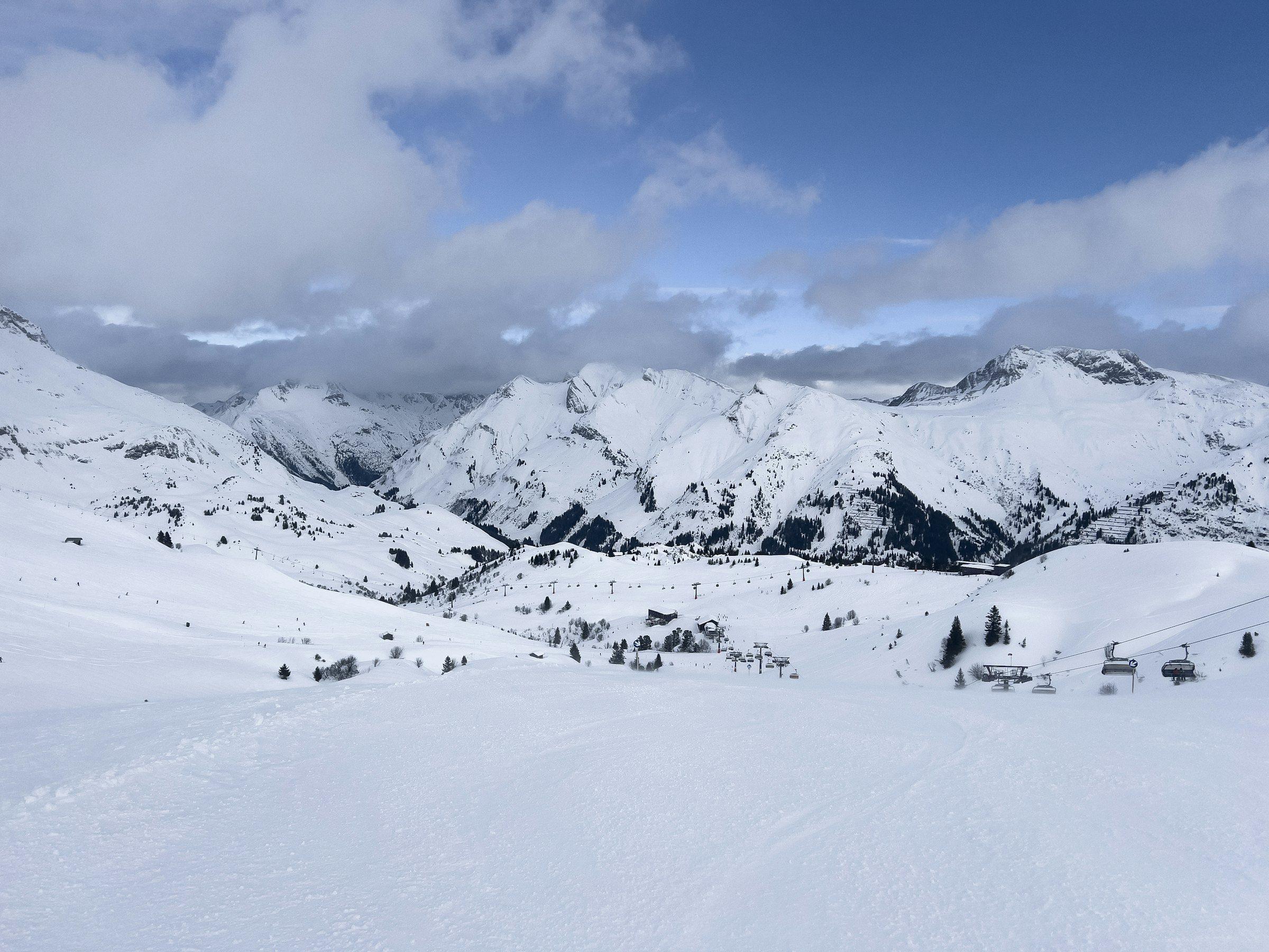
Guests will recognise every hill.
The terrain comes from airborne laser scanning, and forests, buildings and lifts are where they really stand.
- Forests with trees
- Buildings with windows and snowy roofs
- Moving lifts, skiers and bikers
- Named peaks, valleys and villages
What the map does for your resort.
Guests know what to expect before they leave home
They see the slope, where to park, which lift to take and which runs the kids can manage. People who can picture the trip find it easier to decide to come.
Fewer questions at the ticket desk and on the phone
“Is lift six running today?” or “Is the hut at the top open?” – guests check the map instead of calling or messaging.
Your resort stands out
Instead of a flat piste picture, a living 3D world in your resort's colours, typeface and logo.
Summer sells too
The bike park, hiking trails and summer services on the same map show that your resort is alive all year round.
Winter and summer on one map.
The season switches by itself on the date you set. Visitors can switch it too, if you allow it.
Winter
- Runs and lifts
- Cross-country and ski touring trails
- Sledding runs
- Winter walking trails
Summer
- Bike park
- Hiking trails
- Cycling routes
- Summer services
 Winter
 Summer
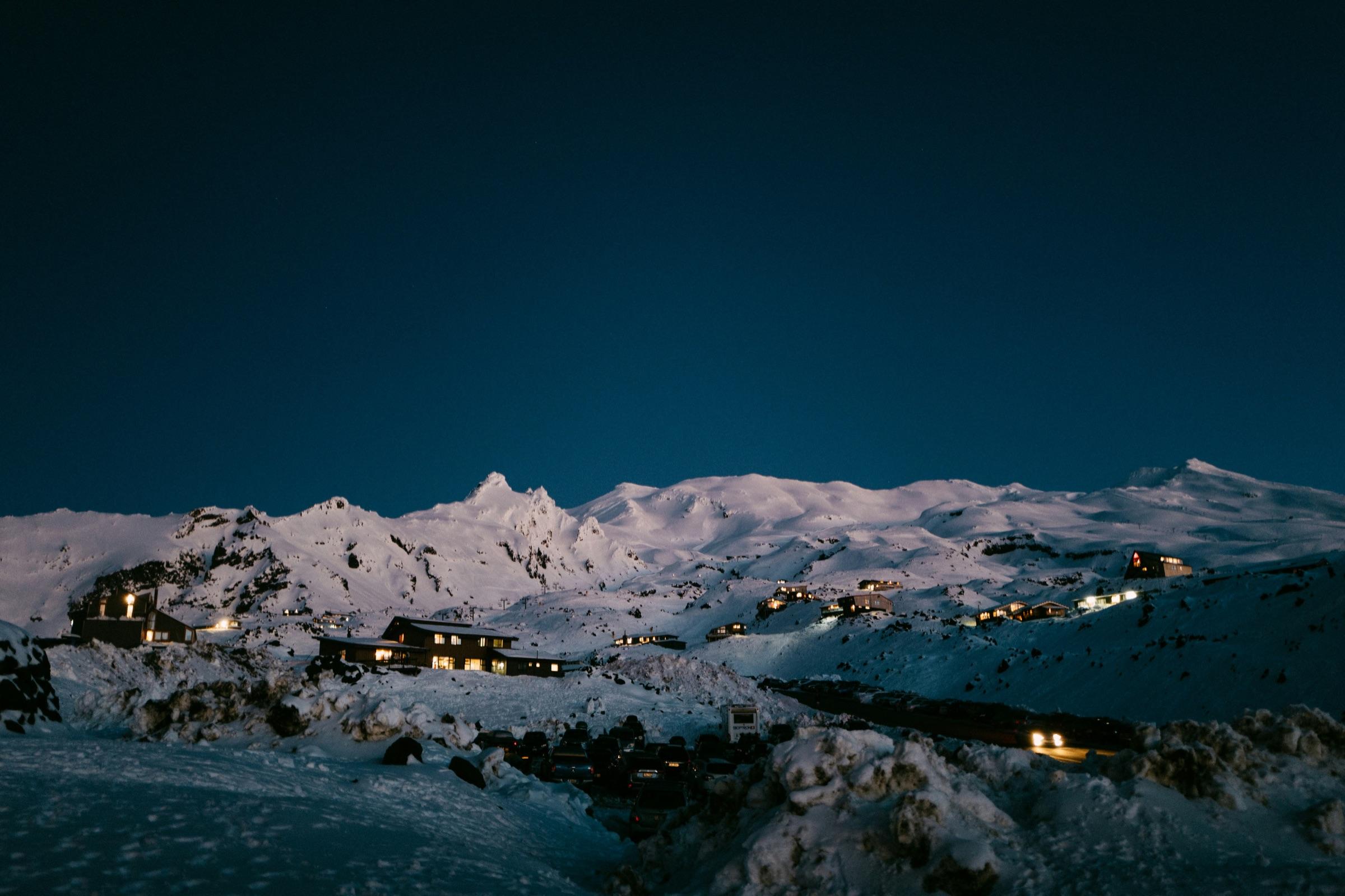
Guests don't have to call to ask what's open.
Open and closed runs and lifts, snowmaking and night skiing. The status always shows the time it applies to.
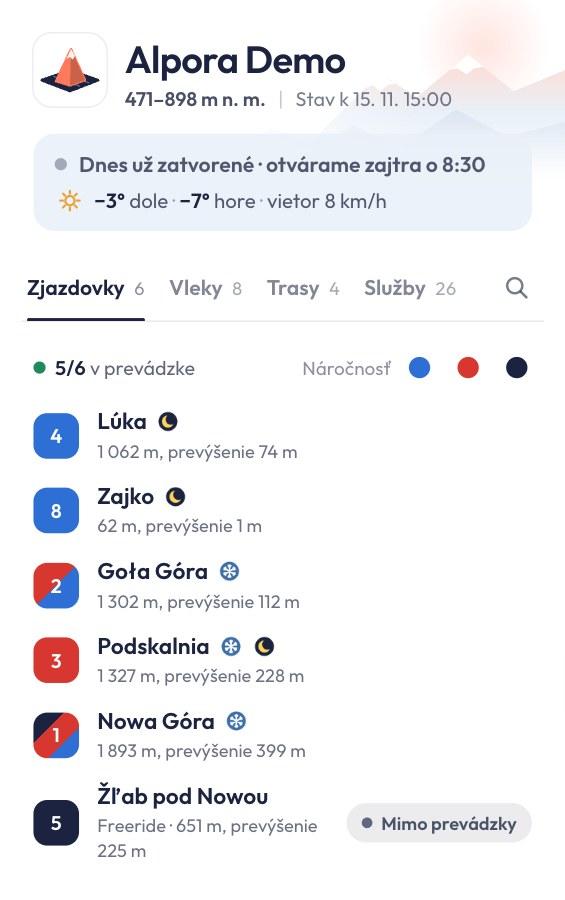
Try it – tap a runTry it – pick a run or a service.
Open the full map- Opening hours
- For the resort, lifts and services.
- Filter
- Open runs only, or by difficulty.
- Services
- Restaurants, rentals, parking.
- Weather
- Temperature top and bottom, wind.
Everyone finds their run – families with kids too.
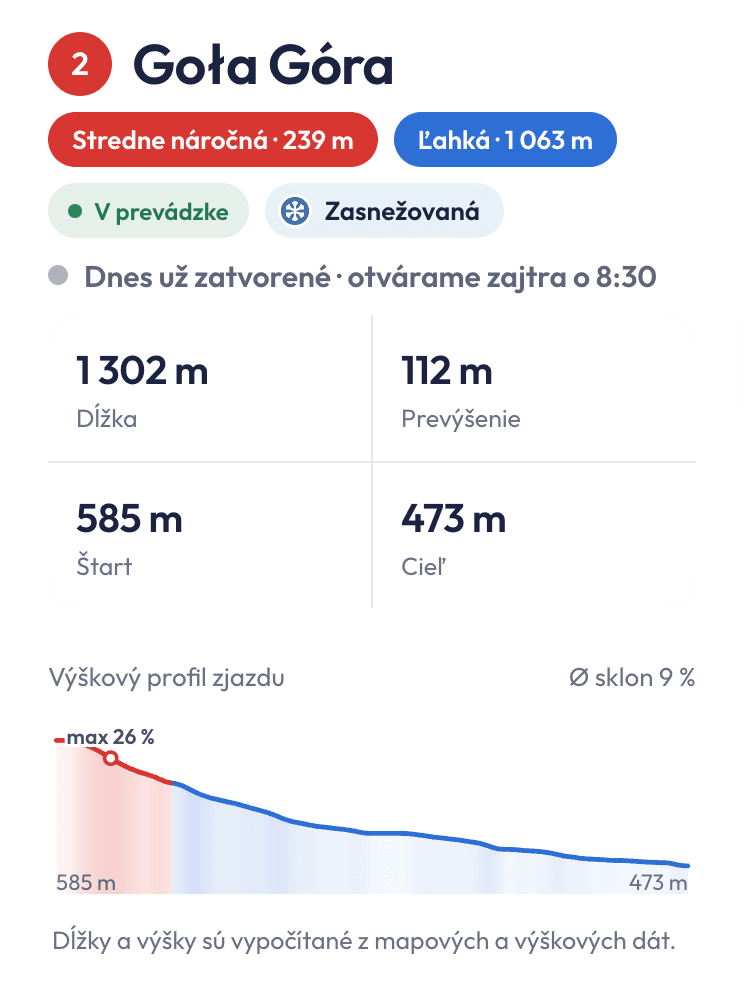
Length, vertical drop, start and finish, difficulty by section and an elevation profile with gradient. Services can be filtered by category and “open now”.
- Open now
- Ticket offices
- Rentals
- Ski service
- Restaurants
- Toilets
- Parking
- Ski school
- Kids' area
- Accommodation
Changing the status takes a few taps.
You change the status on your phone and the website updates instantly. Sign in without a password, with a link from your email.
 Alpora
Resort status
Last change 7:43
- Lúka
Closed · 1,062 m · ↘ 74 m · Floodlit · Night skiing
- Zajko
Open · 62 m · ↘ 1 m · Floodlit · Night skiing
- Goła Góra
Open · 1,302 m · ↘ 112 m · Snowmaking
- Podskalnia
Open · 1,327 m · ↘ 228 m · Floodlit · Snowmaking · Night skiing
- Nowa Góra
Open · 1,891 m · ↘ 411 m · Snowmaking
- Žľab pod Nowou
Closed · 648 m · ↘ 237 m
Try it – the switches work
- Status in one tap
- One by one or all at once with “Open / Close all”.
- Hours and schedules
- Including night skiing and summer operation.
- Services and buildings
- Add, move on the map, photos, order.
- Change history
- Who changed what, and when.
- Edit runs on the map
- Split a run or draw a new trail.
- Visitors
- How many guests opened the map, what interests them and what they search for.
Three steps and the map is live.
We prepare the map. You add it to your website and, whenever something changes, switch the status on your phone.
We prepare the map
Terrain from elevation data, runs, lifts and services as they really are.
You add it to your website
With one snippet of code, no website changes.
Changes with a tap on your phone
The website updates instantly.
You draw a new run yourself in the admin. The code on your website stays the same.
On your website with one snippet.
No website changes
Add one snippet of code. The map uses your resort's colours, font and logo.
Five languages
Visitors switch the language themselves.
- skZjazdovky
- csSjezdovky
- plTrasy zjazdowe
- enSlopes
- dePisten
Like an app
Can be added to the phone's home screen. Without signal it shows the last status.
Frequently asked questions
Is yours missing? Write to info@alpora.eu.
- Do we have to change our website?
- No. You add the map with one snippet of code and the website stays as it is.
- Who keeps the map up to date?
- You change the status of runs and lifts, the hours and the services on your phone. You draw a new run in the admin, right on the map, or we add it for you on request. We add new lifts.
- How much does it cost?
- The price depends on the size of the resort. We'll tell you after the free demo.
- Can the map match our style?
- Yes. We set the colours, font, logo, app icon and the mood of the map – shadows, light and atmosphere – to match your brand. It's part of the map.
- Do you also do custom work?
- Yes, by agreement – for example custom models of your buildings or trees, made only for your resort.
- Does it work in summer?
- Yes. The bike park, hiking trails, cycling routes and summer services are on the same map.
- Which languages?
- Slovak, Czech, Polish, English and German.
- Does it work on phones and without signal?
- Yes. The map is fast on phones and shows the last status without signal.
- Can the map be opened outside our website?
- Yes. The map has its own address on alpora.eu and guests can add it to their phone's home screen as an app.
- Where does the data come from?
- From OpenStreetMap and national elevation data (ÚGKK SR, ČÚZK, GUGiK).